From here in Bellingham I have access to a lot of amazing hiking trails. Just over an hour east and there are trails crawling over the North Cascades surrounding Mt. Baker. But there are also trails right here in and around the city of Bellingham.A large system of trails called North Chuckanut Trail System borders the south edge of town. These trails traverse through a patchwork of state parks, city parks, and forest lands. Some of the biggest portions are in Larrabee State Park and Arroyo Park.Awhile back I tried out a large loop leading up to Raptor Ridge. This is 8ish mile round trip takes you up to some of the highest elevation in the Chuckanut mountains.
How To Get There!
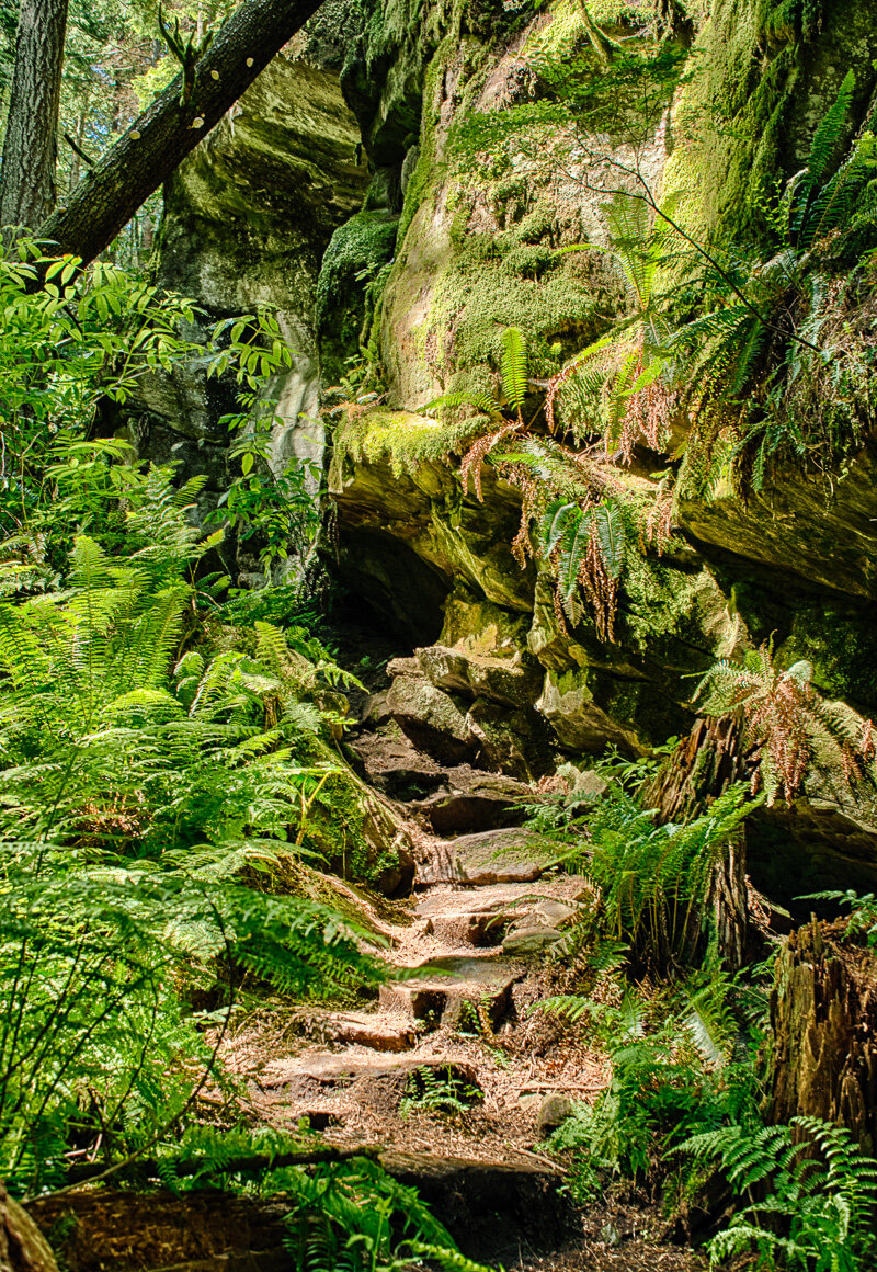
Here is a great description of the hike: http://www.wta.org/go-hiking/hikes/raptor-ridge-chuckanut-mountainUnlike that description I started from the North Chuckanut Trailhead. Instead of turning onto Old Samish Way, just keep going straight on Chuckanut drive for a tiny bit and you’ll see a sign and parking lot on the left for the trail head. You’ll just hike north on the Interurban trail until you get to a marker in the Arroyo park area leading you up the Hemlock Trail. Then, the hike is uphill for a good 3 miles at least.This image is taken on the Raptor Ridge Trail only a little bit after turning off the Hemlock trail. This section is horse free, as it is very narrow and winds through some large rocks.After checking out the overlook I continued down the Raptor Ridge trail to the Lost Lake Trail and took that back North to where I started.I’m not in the best shape, so this 8 mile hike was a doozy for me. But it was worth it. The Raptor Ridge Trail running from the Hemlock to the Lost Lake trail was beautiful. There are massive trees, plush ferns, and blankets of moss everywhere.